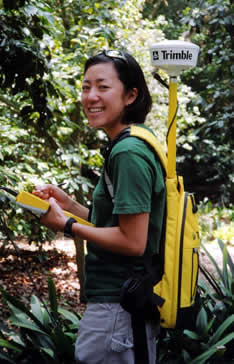
The GPS Interface determines the x, y, and z coordinates of each plant. It can also be used to assist in the accurate mapping of paths, roads, and other features of the property.
BG-Map checks and verifies all uploaded field data and indicates any errors such as incorrect accession numbers. Entry screens are provided for correction of any errors that are detected.
After the data has been verified and corrected, BG-Map automatically inserts plants and other objects into the map at their current locations.

© 2025 Glicksman Associates, Inc. All rights reserved

