|
Mapping Plants
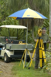
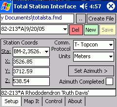
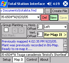
To map a plant, simply enter its accession number. The Total Station Interface checks it against BG-BASE to verify the plant's name and life status, and indicates if the plant has been previously entered into BG-Map (optional GreVid Software module is required for in-field checking). Once the accession number has been entered, the measurement is intitiated on the Total Station, and the received data is stored. After the data has been downloaded, BG-Map re-confirms the accession numbers and automatically inserts the plants into the map at their measured locations.
|
|
Mapping Plant Masses
Plant masses are easily mapped. For each mass, you can map the centroid as well as up to 12 points around the perimeter.
Mapping Facilities Management and Other Non-Plant Objects
The Total Station Interface can also be used to map non-plant objects such as paths, irrigation devices and electrical boxes. This is done by entering special codes in place of plant accession numbers. BG-Map will automatically insert these objects into the map and update the Facilities Management Database.
|
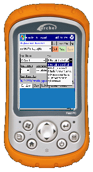
Data is recorded on a Windows Mobile Device
|
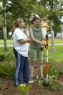
Holding the target
Click to Enlarge
|
